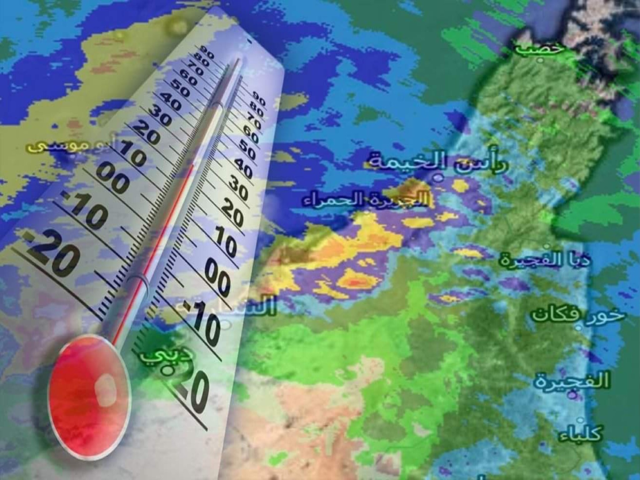
According to the National Center of Meteorology, the country is currently experiencing the influence of a surface air depression from the east and a high-pressure system from the west. Additionally, there is an extension of a high-pressure system in the higher layers of the atmosphere. The weather forecast for today predicts mostly clear skies with occasional clouds and a gradual increase in temperatures. The temperature will grow humid during the night until tomorrow morning. There is a chance of mist or light mist forming in certain coastal and interior locations. The winds will be light to moderate, occasionally strong at sea, with mild waves in the Arabian Gulf and the Sea of Oman.
The Center predicts that tomorrow's weather will be mostly fair with occasional clouds. It will be humid at night until Tuesday morning in certain coastal and inland areas. The winds will start from the southeast and then shift to the northwest. They will be light to moderate in speed, occasionally becoming active and stirring up dust, particularly in the western regions. The wind speed will range from 10 to 25 kilometers per hour, reaching 40 kilometers per hour at sea. The sea will have light to medium waves, occasionally becoming turbulent in the afternoon in the Arabian Gulf, and light waves in the Sea of Oman.
He indicated that the weather forecast for next Tuesday predicts mostly clear skies with intermittent clouds. Temperatures are expected to decrease along the coasts and become humid at night until Wednesday morning. There is a chance of light fog forming in certain coastal and inland regions. He also mentioned that the winds will be primarily from the southwest, occasionally shifting to a gentle northwesterly direction. The wind blows at a moderate speed, occasionally becoming more active and stirring up dust and dirt, particularly in the western areas. Its velocity varies between 10 and 25 kilometers per hour, reaching 40 kilometers per hour over the sea. The water experiences light to moderate waves, occasionally becoming tumultuous in the Arabian Gulf, while the waves are generally mild in the Sea of Oman.
The forecast for next Wednesday indicates generally fair weather with occasional clouds. The humidity will increase at night until Thursday morning, and there is a possibility of mist or light mist forming in certain coastal and inland areas. The winds will be light to moderate, ranging from the southwest to the northwest, occasionally becoming stronger. The speed required to generate dust varies between 10 and 25 km, with a maximum speed of 35 km in the sea. The Arabian Gulf experiences light to medium waves, whereas the Sea of Oman has light waves.
As per the center's information, during the month of May, which falls within the initial transitional period (spring) between winter and summer, the sun will continue its apparent movement towards the north of the equator. This will result in longer days in the northern hemisphere and a gradual increase in temperatures. There is a high level of heat in most sections of the country this month.
According to the center, this month has seen a decrease in the impact of the Siberian high on the country. Instead, the region is being affected by air lows that are expanding from either the west or the east. Additionally, the extension of upper air lows moving from west to east is causing an increase in cloud cover in certain areas. There is a possibility of precipitation.